Tuesday, May 31, 2016

Glacier National Park - Part Deux

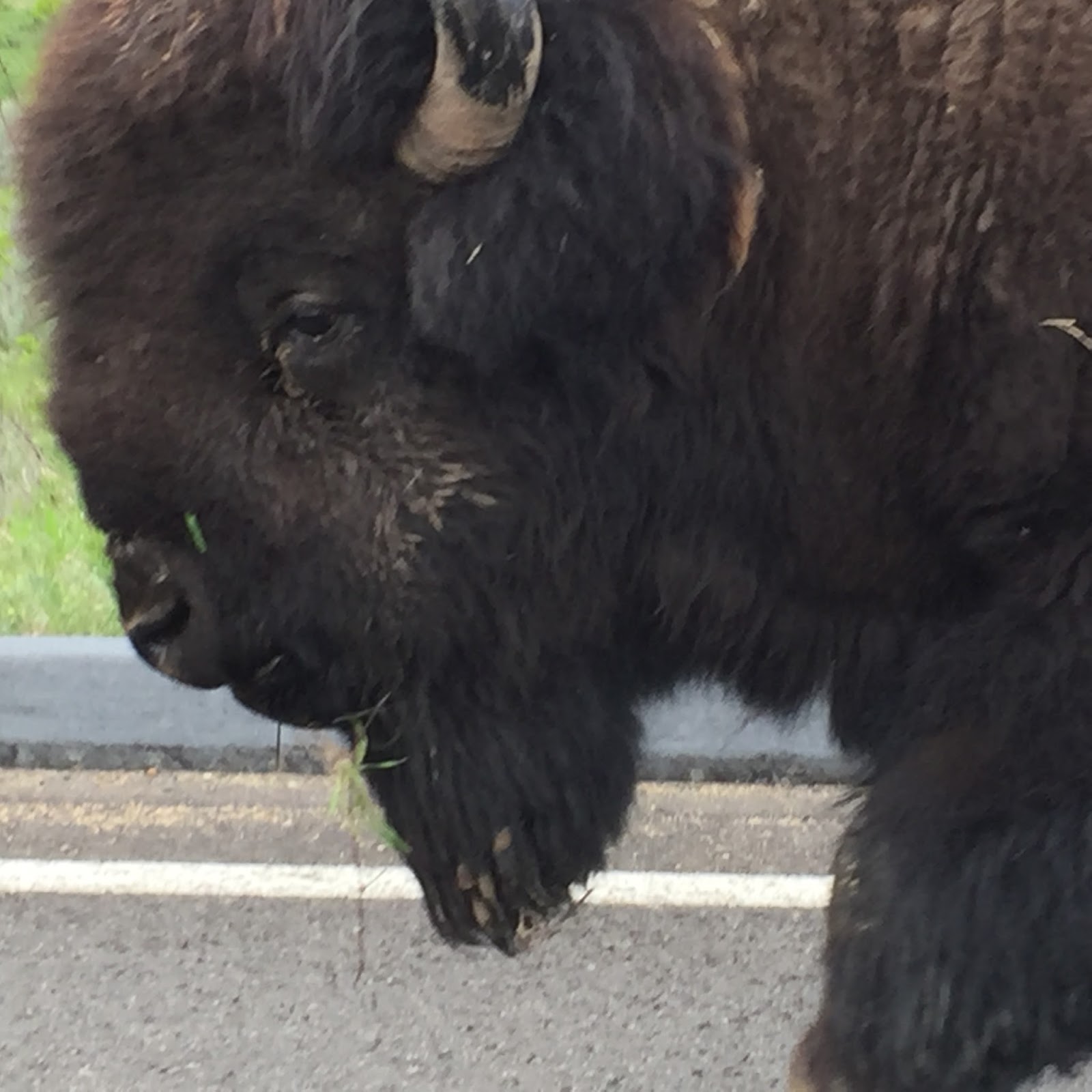
Today we went back to Glacier National Park to hike another trail.  


The main road you take into the park is called Going-To-The-Sun Road.  It's normally a 55km road to East Glacier but it was closed at the 27 km mark, or Avalanche Creek.  There is still snow they are clearing from the road further up around the pass.

It was a beautiful late morning when we started out.  These are shots of Lake McDonald.  The water was so still.  You can see for yourself the reflections in the water.  Just stunning.

And my favourite.

We couldn't see all of those mountains yesterday.  It was too cloudy up top.

We decided to do the Avalanche Lake Trail.  It's about 5 miles in and out, with a 750-foot elevation rise.  It was an absolutely beautiful day for a hike.

This deer turned his butt to me just as I was taking the photo.


This squirrel was stuffing his cheeks with cedar strips - no doubt for his nest.


This is Avalanche Creek.  A torrent running down through quite a gorge further down.


After about an hour, we arrived at Avalanche Lake.  Kind of a Lake Louise type of effect, except not as big, nor as nice.  But it was beautiful nonetheless.


There are little waterfalls coming down from the mountains.  Pretty place.


After spending a bit of time there, we started heading back out.  There were a couple of camp groups here, and we didn't want to get behind them.

The trail was a bit muddy in several spots, but we managed to get around the mud.


There are these giant boulders in one area in particular.  Apparently they're glacial - left by glaciers as they retreated.  But throughout the woods there are downed trees from fairly recent avalanches.


A beautiful day in a beautiful park.  Too bad we couldn't drive the rest of the Going-To-The-Sun Road.  Apparently there are people who get up near the pass and they can't continue driving because it's so scary - narrow road with sheer drops off the side.  Some other time, I guess.

Tomorrow we're heading into Washington State, stopping around Spokane for the night.


Glacier National Park

Sorry I didn't get the post done last night.

After our long day of driving yesterday, we took it easy this morning and just relaxed for a while.  When we were ready, we went back into Columbia Falls to pick up a few groceries at a big beautiful store, and gassed up the truck in Hungry Horse.

On the way back to the RV, we went up a road to the Hungry Horse power dam.  576 feet high.  Quite an impressive spot for this little out-of-the-way area.  Who knew this was here?


We were considering going to the Grand Coulee Dam in Washington on the way to Seattle, but have decided not to as it's way out of the way for us, and we're on a bit of a time restriction until we leave Seattle.  So this Hungry Horse dam gave us our "dam fix".

After lunch, we ventured into Glacier National Park.  We stopped at the visitor centre to get some recommended trails to do.  There are so many, it's impossible to pick the good ones without knowing something about them.  A lot of them are through the woods.  The one we chose for today runs along McDonald Creek.  This is McDonald Falls.


Quite an impressive amount of water running through narrow areas.  I call this "scary water".


It was a very nice trail through, I'm guessing, redwood forest.  Those rocks there look like parts of giant fossilized tree trunks.


We get glimpses of the mountains, but the clouds were around the tops.


Beautiful views.

I find it kinda weird doing selfies.


OK, the horses can have the bridge.


Gerard eating his "huck pie" after dinner.  Huckleberry, that is.  The huckleberries aren't out yet, seasonally, but I'm sure they've stored up lots of them from last year's crop.


Sunday, May 29, 2016

Driving Across Montana

We drove all the way from Garryowen to Coram, Montana, today.  It was a lllllooooonnnnggggg drive, about 10 1/2 hours, including stops for gas, lunch, etc.  We left early, but we had had enough by the time we got here.  It is our longest drive we have planned.  Actually, beyond Seattle, we don't have much planned at all!

We crossed the Yellowstone River several times on the way here - until we passed by Yellowstone National Park.  We weren't that far from the park, actually.  But we have been there before, so on this trip, we decided not to redo things we have already done, unless we can't avoid it.


Plus we passed over the Continental Divide (dividing the Atlantic from the Pacific drainage).


We passed scenes like this a few times.  There were little pockets of mountains here and there.  More like the Montana I imagined.


Arriving at Glacier National Park (or just outside the park), we see the Rocky Mountain range in front of us.  We'll be here for the next 3 nights exploring this area.

A couple of more town names we thought interesting:  Anaconda (yuck) and Opportunity - maybe not a bad place to live?  Don't you love the skiing sign and the Hospital sign at the same time? Hehe.


Saturday, May 28, 2016

Custer's Last Stand

To start off, this is the view from our RV lot.  Very quiet and peaceful.  And not a lot of RVers around.  That's been true of most places we've been.  A little early for the regular crowd, I guess.


We are next to Little Bighorn Battlefield National Monument here in Garryowen, Montana.  This is Lt. Col. Custer's Last Stand and the battle site of Little Bighorn.  It is a legend, and a true one.  But what we didn't understand was the significance of the battle.  Yes, Custer was killed, along with his entire 7th cavalry unit.  But it was the last time the native Americans had victory.  So the historic site is honoured on both sides for what both sides won and lost.

This is "Last Stand Hill" where many of the American soldiers died, using their dead horses (which they killed) as a barrier.  Custer died on this hill too.


This is Custer's death site found on the hill, among many of his cavalrymen.  His remains were eventually moved to West Point.


They did archeological work around 1970 or so, to determine where each man died.  They marked it with a stone, then reburied the remains under this monument on the hill.


There is also a marker for those horses killed.


This is in the Native American portion of the monument.  It's a circle with commemorative plaques and quotes, including about "Sitting Bull".  "Crazy Horse" was part of this battle as well.  Familiar names in legend.


Bottom line, it's all about the white man taking land, and the Native Americans trying to protect their way of life.  The treaty they had was ignored by the white man, which led to this whole battle.

We were finished with this tour and back to our RV by around 1 pm.  We had some lunch, then just relaxed for the rest of the day.  Well, some of us did.  Gerard washed the truck and some of the RV as there was a lot of dust on them.  We have a long day of driving tomorrow.  Probably the longest we will have the whole trip as we head up to the northwestern part of the state from where we are in the southeastern part.  And Montana is a BIG state.

Friday, May 27, 2016

Into Montana

We left Medora, North Dakota, this morning around 9 am and arrived in Garryowen, Montana, around 3 pm.

A couple of interesting town names along the way.  Both these were in North Dakota.  


I don't think so.  Not here.


Our first arrival in Montana.


We decided not to take this road.


Some beautiful country here.  A lot of plains in eastern Montana, but we drove into rolling hills and beautiful landscapes.  We followed THE Yellowstone River quite a way, and I think we will be crossing it in a couple of days.

I thought the town of Garryowen was named after that guy who was on Laugh-In many years ago (Gary Owens).  But it turns out it has to do with an Irish drinking song the 7th cavalry used to sing before they were beaten here, along with Custer.  Who knew?

Gerard replaced the battery box (we had lost the lid in the wind driving up to North Dakota the other day).  We purchased one in Glendive, Montana, at Napa Auto Parts.

We're staying on a ranch property near Garryowen.  We're out in the middle of nowhere, which is fine with us.  We're not quite boondocking yet.

Tomorrow we check out this area.

Thursday, May 26, 2016

Theodore Roosevelt National Park

At the entrance to this park is Theodore Roosevelt's actual cabin.  He stayed here after he left New York because his wife and his mother died within a day of each other.  He fell in love with this area and later became known as the "Conservationist President" since he established significant areas of  national parks and protected areas.


So today we explored the park named for him.  It was a 36-mile loop around the park.  It's called a 'badlands' area too, but it was very different from the badlands in South Dakota.  Much greener and parts of it are a grassy plain.  Quite beautiful.


Lots of wildlife to be seen, mainly bison.  We didn't see any herds, but there were lots of loners.  Like this guy wandering down the road.


And this guy resting.


A deer.  Actually there were a pair of them, but we didn't see the other one until we were passed it.  They had long ears.


There were even feral horses.  There were 3 of them here.  This guy was on the road so we had to wait for him to pass. 

 We stopped several times and did a few different short hikes.  This one was called "Coal Vein Trail".  You can see the vein in this rock.


Walking out to this coal vein, we saw another critter.  I saw it as we were passing along the trail.  It was about 3-4 feet from the trail just sunning himself on a pile of dirt.  Yikes!  I spotted it and ran about 15 feet away.  Gerard stopped and said, "Where"?  He was only 3-4 feet away.  He said, "Is it a rattler?"  I said, "I don't know...but let's not find out!"  He wanted me to get closer for a picture.  He said it was only sleeping.  Then what were those beady eyes doing watching him?  The zoom on my iPhone worked just fine, thank you.  We found out afterward it is a Prairie Rattlesnake, the only poisonous snake in the park.  Gives me the willies.  Needless to say, every step I took after that was only after careful examination of where my foot was planted.  Gerard said I was walking too slowly.


Another trail we were on was called Windy Canyon.  Pretty little spot.


All in all, a very nice day in the park.  We came back to the RV for a late lunch with Tibby, then went into the town of Medora to check out a few of the historic sites.  Turns out I didn't take any pictures!  Anyway, the town was famous in the late 1800s for a French nobleman setting up a meat processing plant rather than having the beef all sent east for processing.  A lot of the ranches in the west had their beef processed here.  This town now has a population of less than 200 people.

So that's it for the Dakotas.  We're off to Montana tomorrow, due west of here.

North Dakota

Today we drove from Wall, South Dakota, to Medora, North Dakota.  We saw this metalworks spot around Rapid City.  This character reminded me of you, John H.  The one on the bike, that is.  The other guy reminds me of Woody from Toy Story, with a beer.


We saw, in general, nutten.  There is nutten out there, and I mean nutten.  The land in this part of South Dakota isn't even fit for crops, in spite of its relative flatness, I guess the soil isn't good.  Only grazing.  And there weren't a lot of herds either.  Just empty grassy plain.


OMG, here's a curve!!!  And a hill!!!  They needed the curve to avoid the hill.


Oh, and here's a town.


I shouldn't make fun of this, because I actually think it's cool.  In general, I'm a humble country girl that's been in the city far too long.  I've never forgotten my roots.  Neither of us have.

We've arrived in a state in which we've never been before.  Another "fly-over state".  I always associate North Dakota with the movie "Fargo", which reminds me of Canada in some ways too.  But I don't know about "Legendary".


We've arrived in another area of so-called "badlands".  We'll explore Theodore Roosevelt National Park, and the town, tomorrow.

Just enjoying some cooler, but sunny, weather upon arrival.  We're nestled in a little spot among the hills, so the breeze isn't so bad here.  It was a little nasty driving today because of the wind.  In fact, we lost the cover for our RV battery case somewhere along the highway in North Dakota.  And Gerard just checked all that stuff after we had stopped for lunch.  It was fine then :(  We'll have to see if we can find something in a town west of here when we leave.  I can guarantee you there will be nutten around here.


Tuesday, May 24, 2016

Oh, Give me a Home...

Where the Buffalo roam...

Today we took in the Badlands National Park just south of here.


It was actually quite an impressive park with some driving, and lots of spots to get out and take pictures with my phone!


Took lots of photos.

We saw herds of bison,


and some individuals who were a little anti-social.


Holy scat!  That's big.


And lots of prairie dogs.


We did a bit of hiking in some spots as well.


You don't have to tell me to keep an eye out for these critters.


We stopped at "The Ranch" and got some peanuts to feed the prairie dogs.  Gerard had a harem.


They must get peanut overload.  We saw one kind of crawling on his tummy.  He probably had too many.  That's what would happen to me!

These 2 guys are right in front of me (since I don't have my telephoto lens!&*#)  Cute little guys, even if they are rodents.


Tonight it is raining.  Some good thunderstorms in the area tonight.  The tornados seem to be to the south of here...so far.  Yikes!

Tomorrow we're off to North Dakota.

Talk about names of towns.  Dakota, Lakota, Onaka, Wakonda, Wetonka, Akota, Kadoka...I can't keep them straight!  And, where the heck is Kennebec?